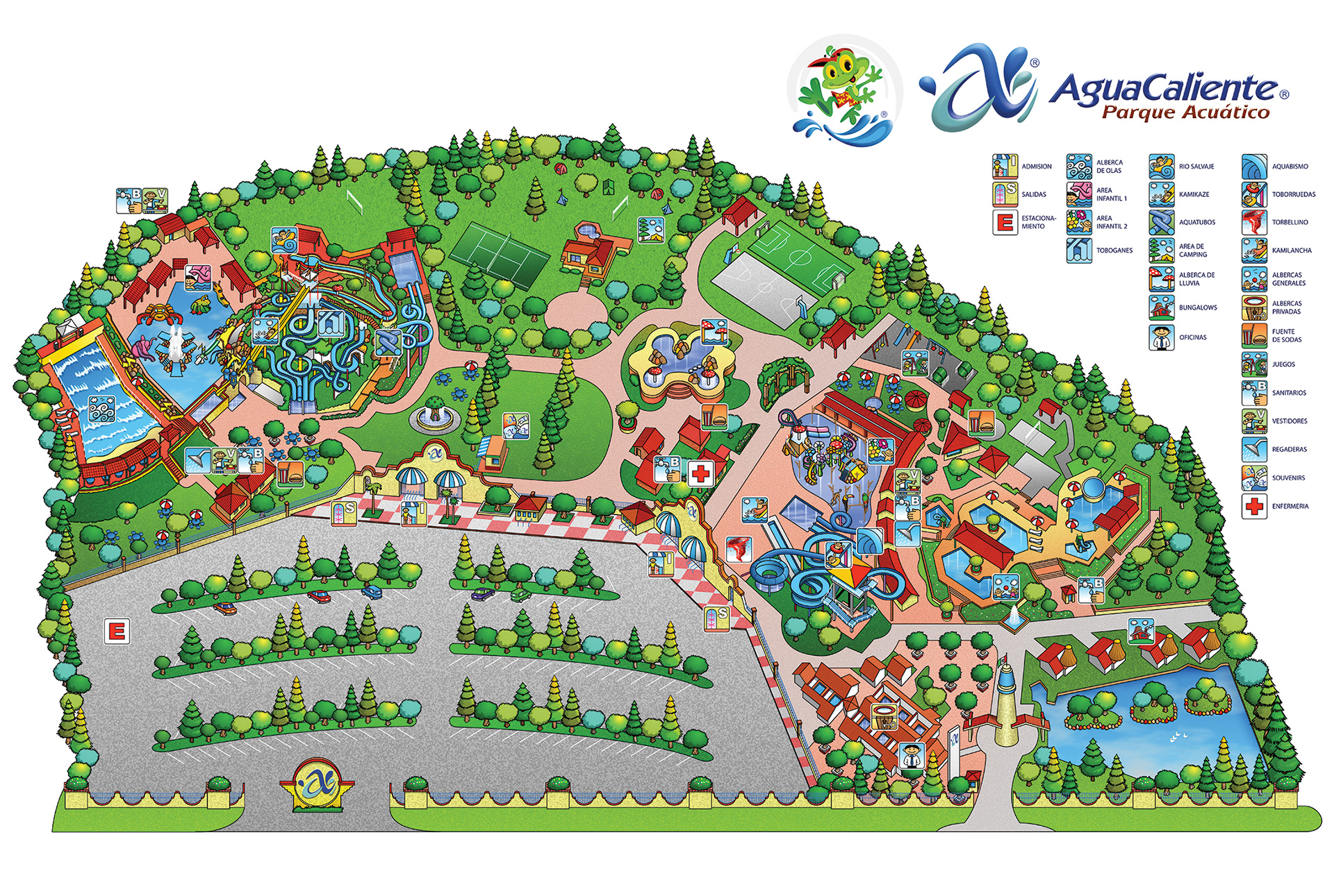
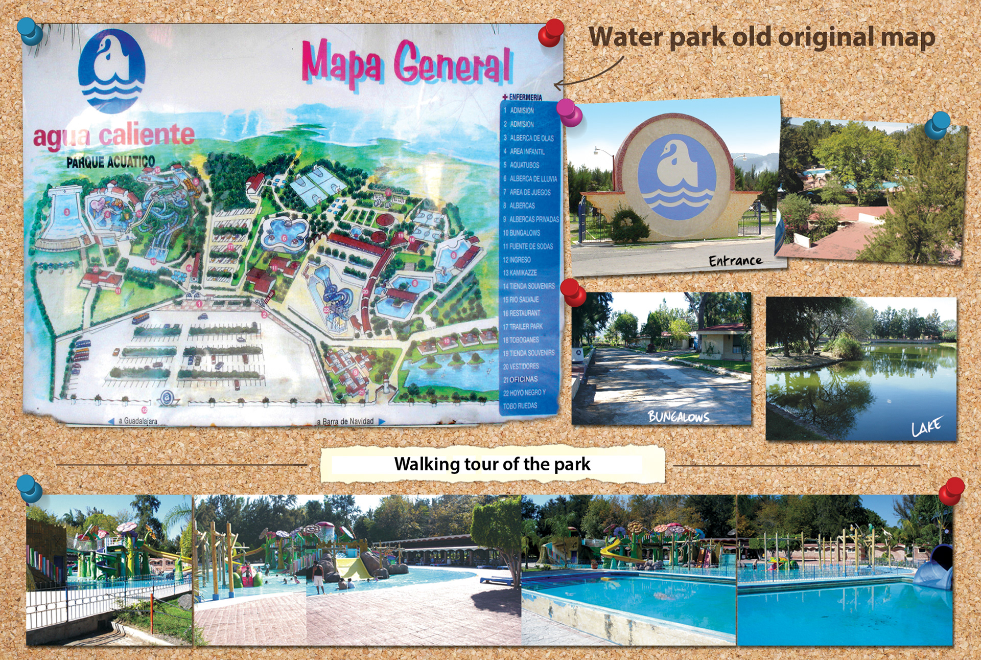
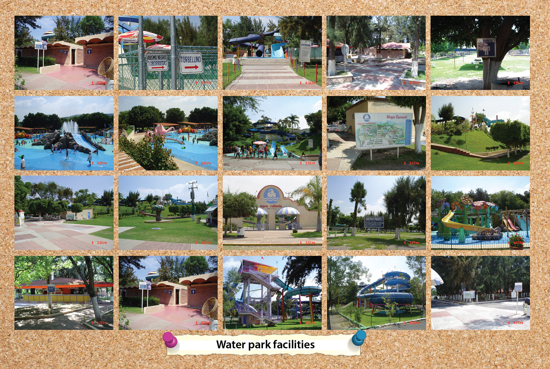
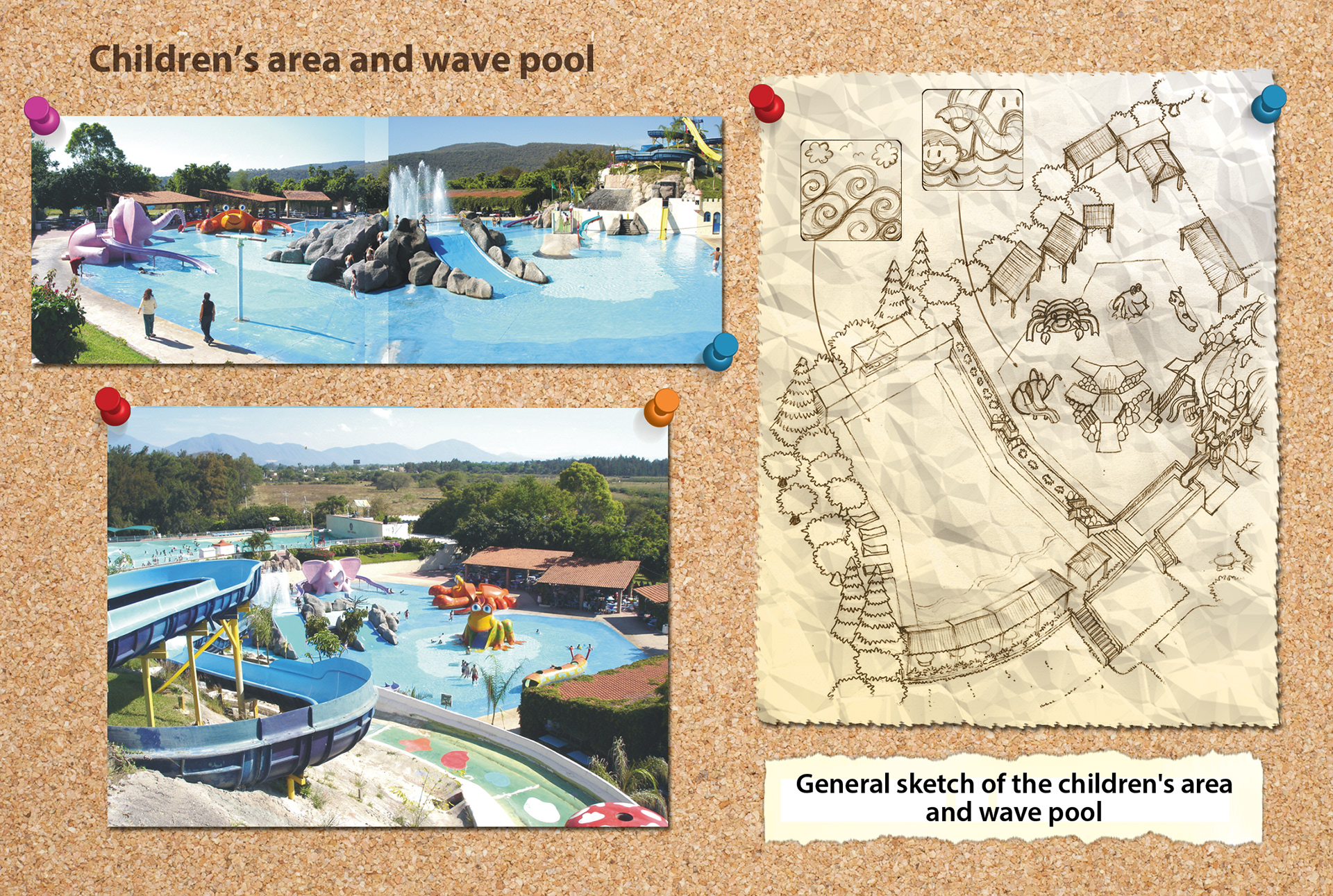
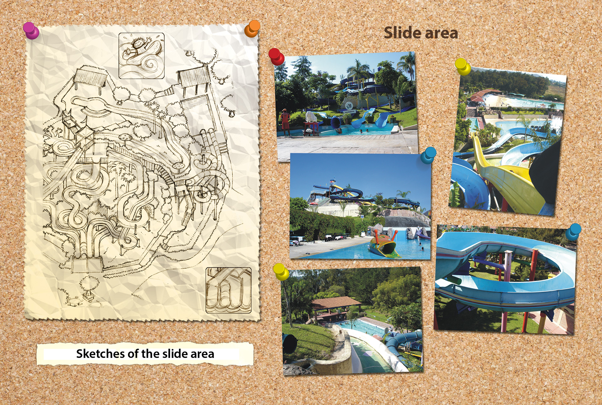
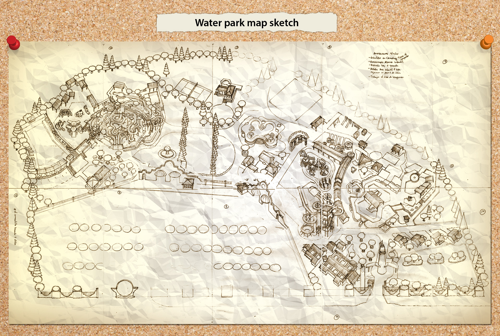
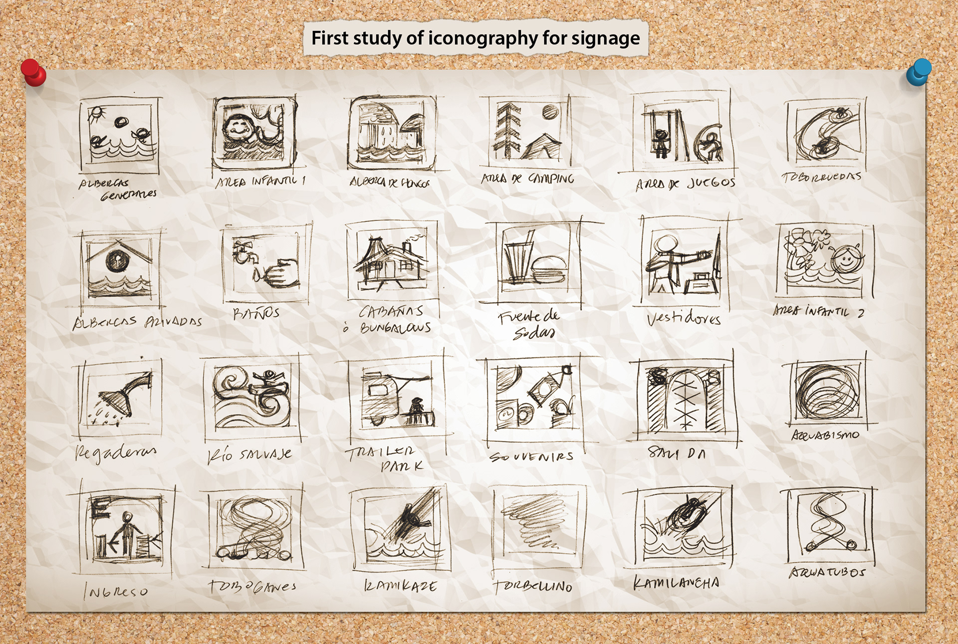
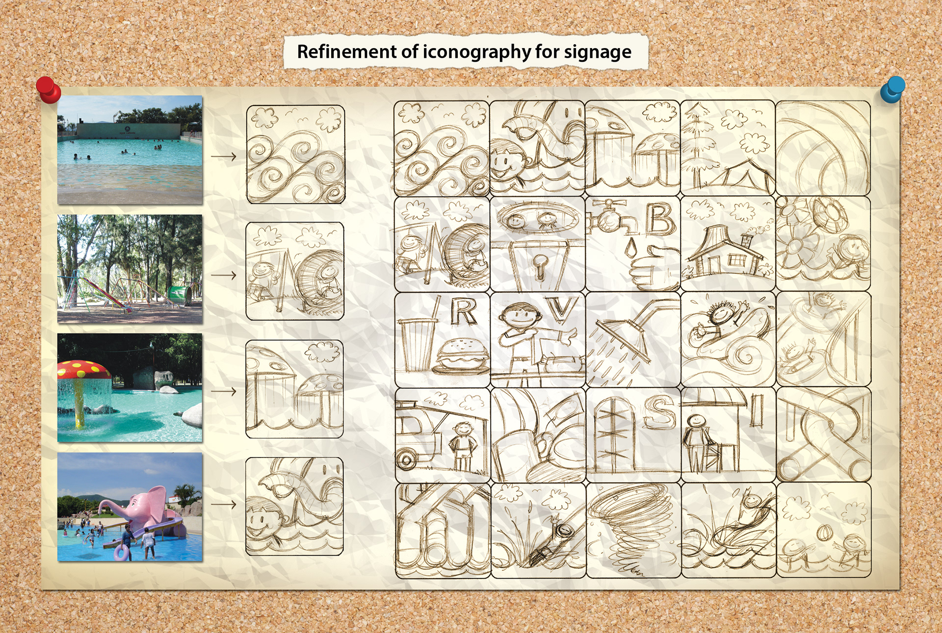
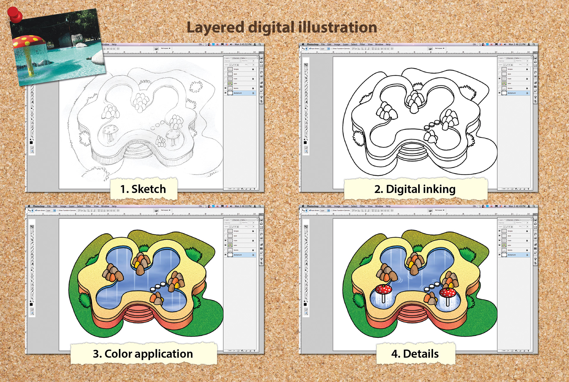
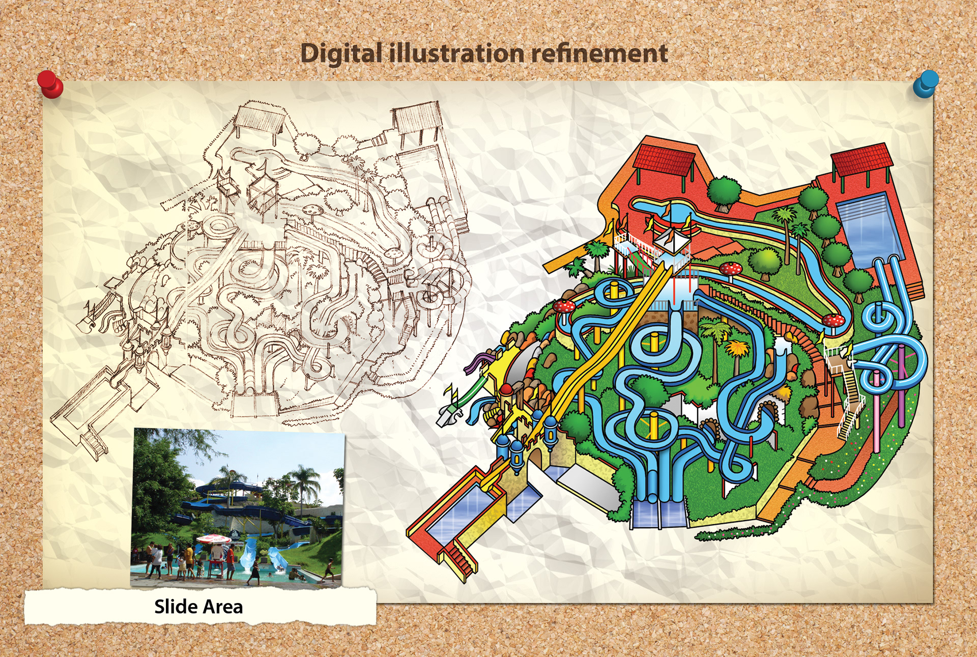
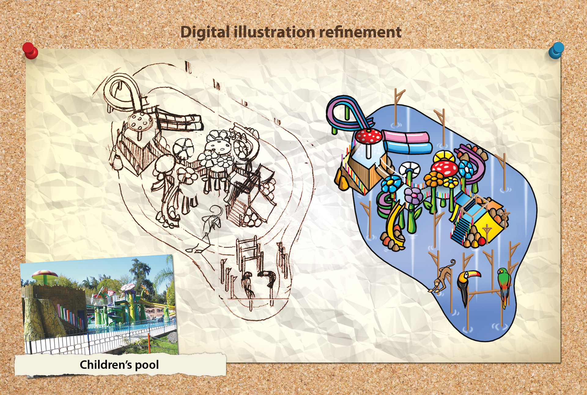
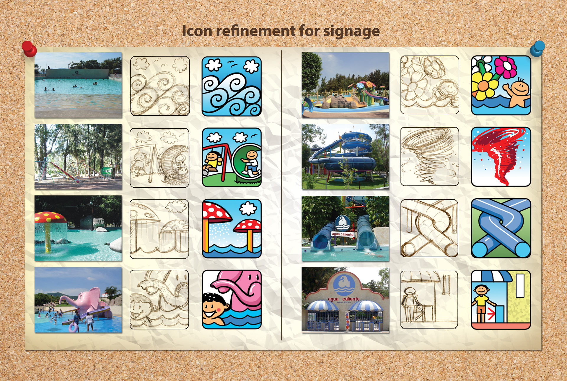
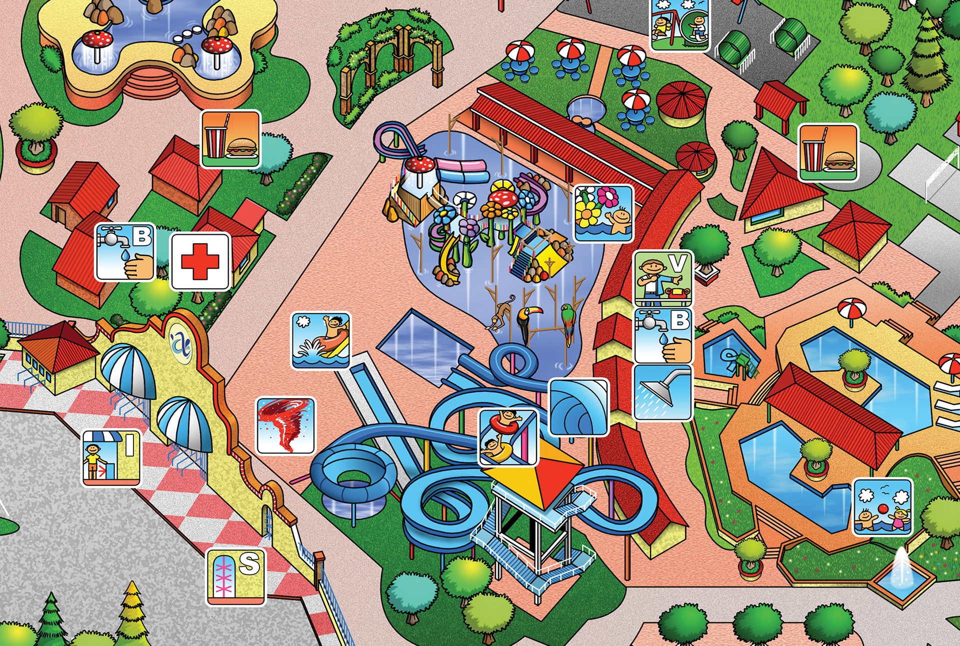
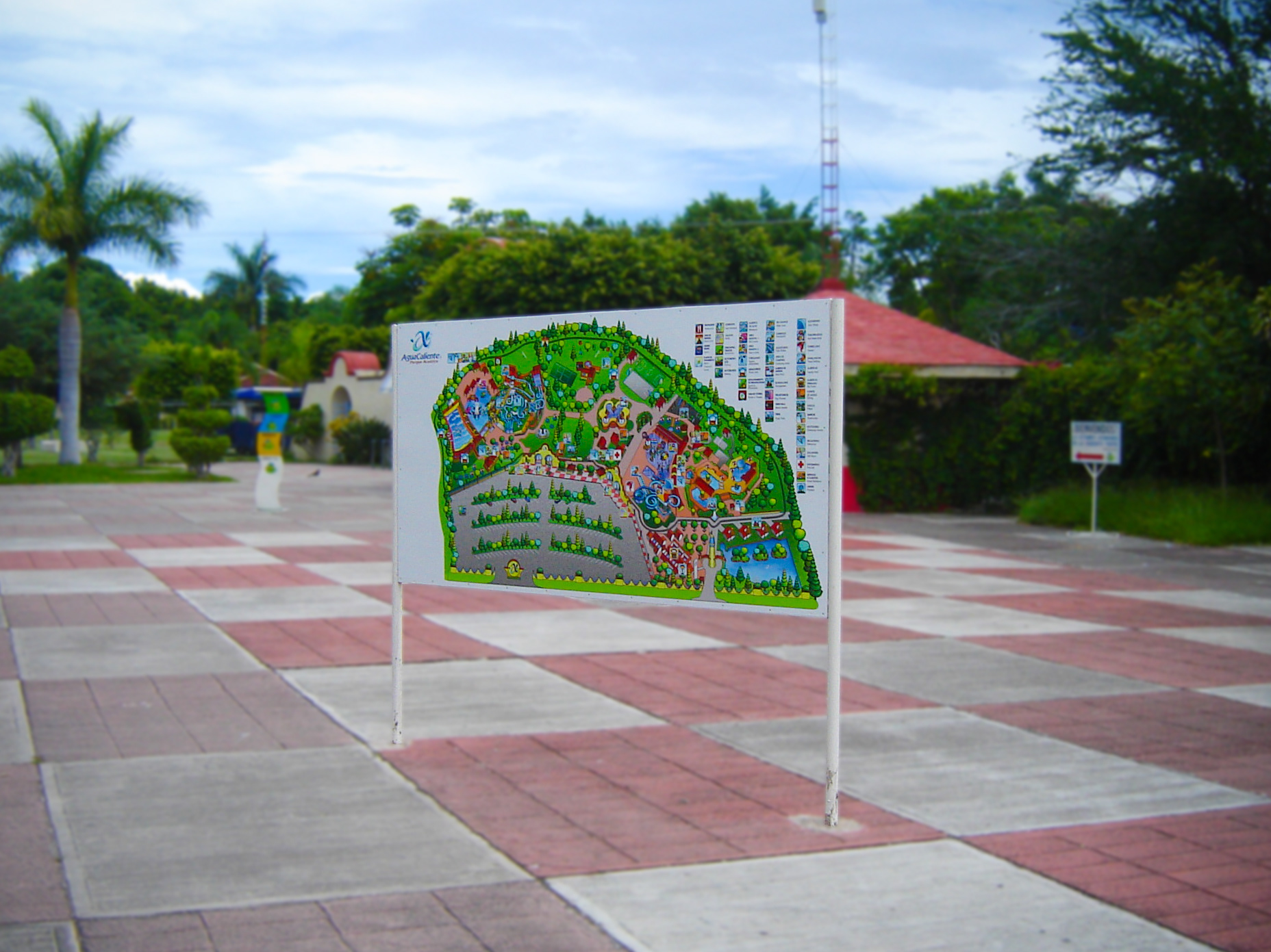
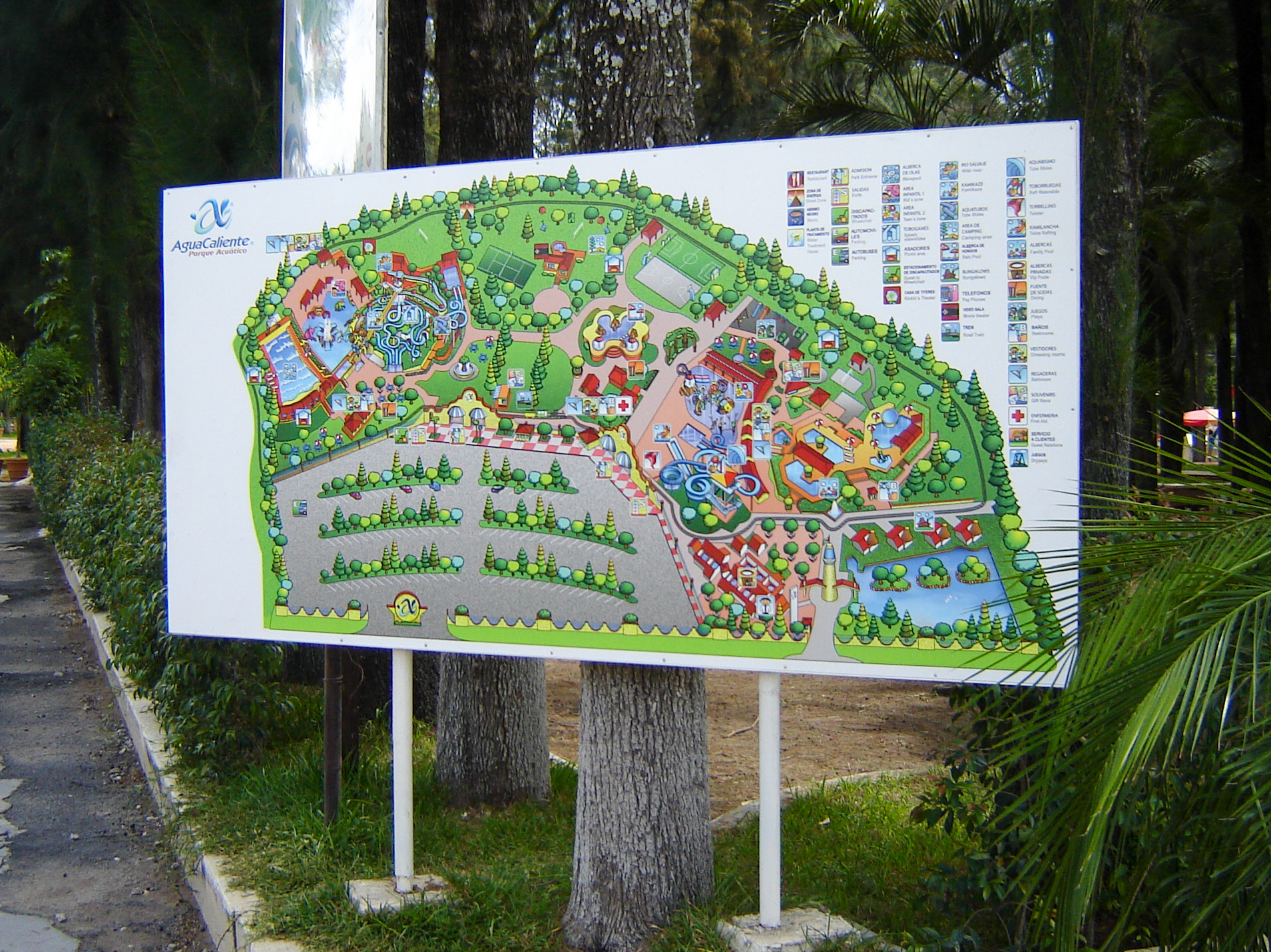
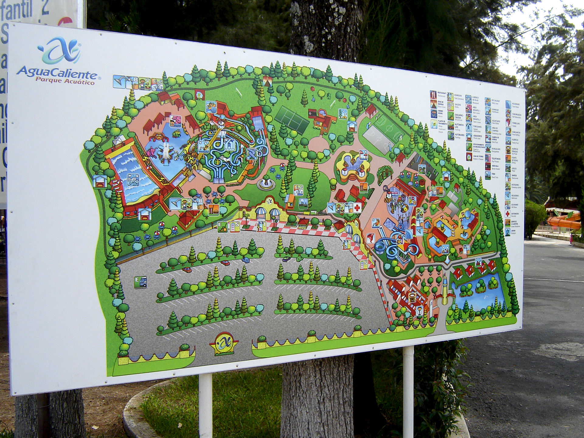
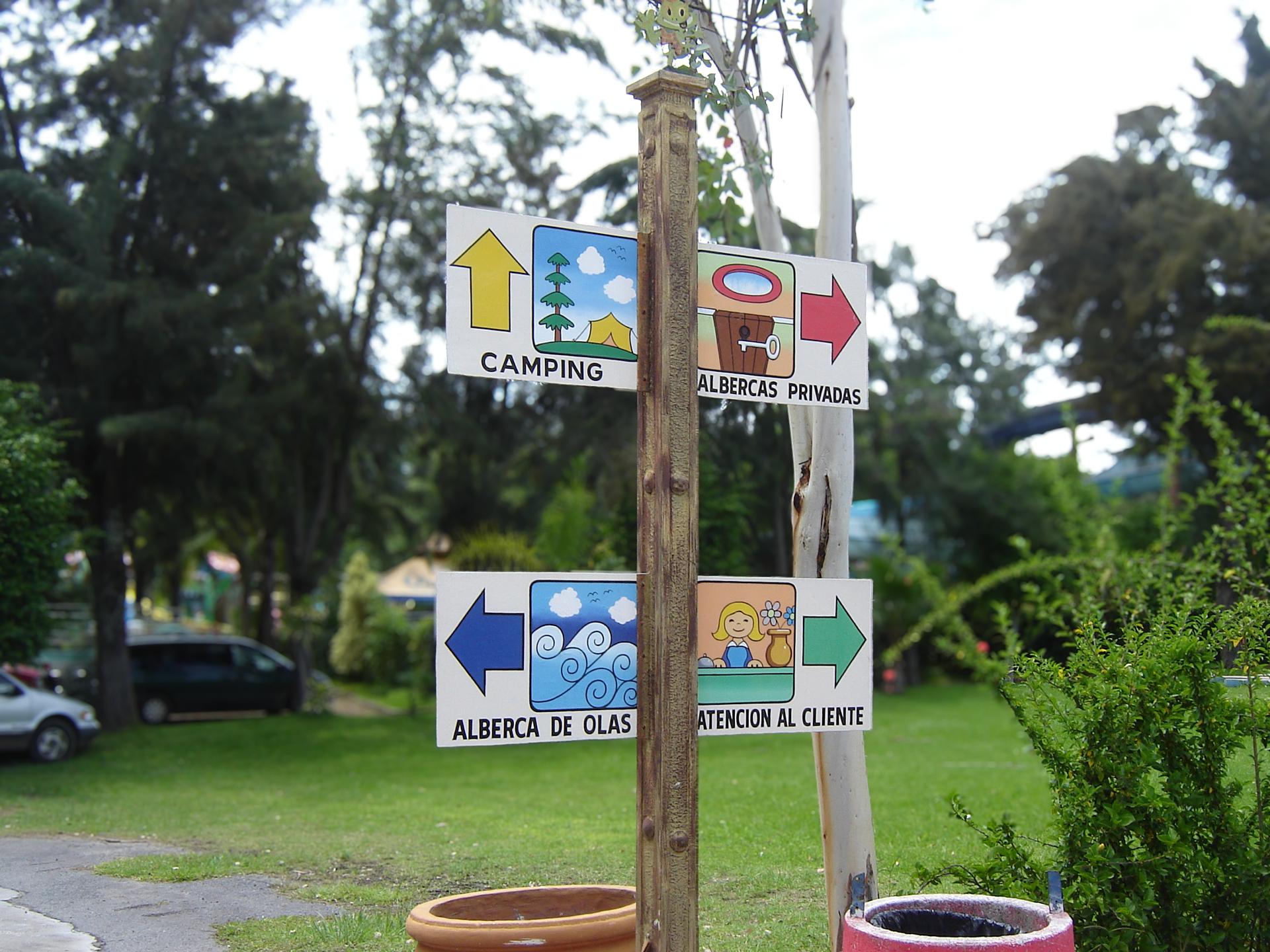
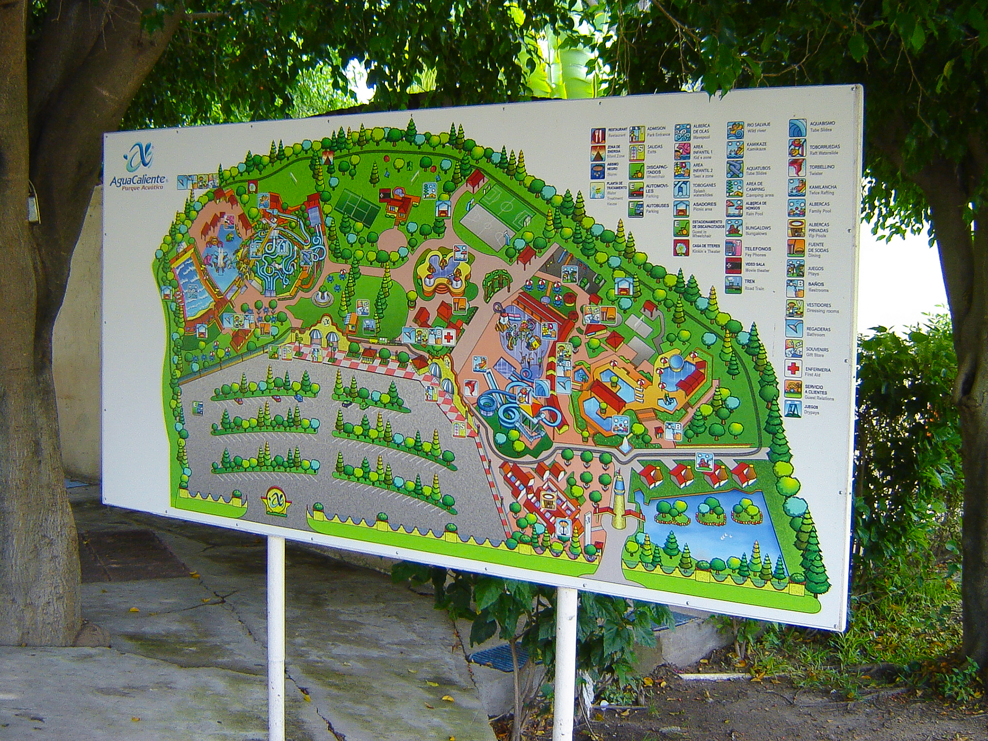


Located about an hour’s drive from the city of Guadalajara, Jalisco, Mexico, this large water park is one of the most popular and best-equipped in the region. When I was a child, my parents often took my brothers and me there—especially during the hottest time of the year. I never imagined that years later, I would walk through it so many times that I’d practically memorize its layout while creating this panoramic map. One of the biggest challenges I faced was capturing enough distinctive details to serve as landmarks for visitors, particularly for those unfamiliar with the park, as it covers a very large area. As a small anecdote, this project was completed at a time when drone technology was not yet commercially available—something that would have been incredibly helpful. Instead, I had to rely on some of the earliest satellite images provided by Google Earth, which, at the time, were still of quite low quality.